

Buck Bay The bay lying east of the Mark Watson Road (Co 94, Berrien County, GA) at Beaver Dam has been known in my lifetime as "Buck Bay," honorific for my g grandfather Jerry S. "Buck" Sutton. This bay was the southern property boundary of the Buck Sutton Old Home Place, which grandfather Buck owned from 1885 (when he bought it from his brother-in-law, Stephen M. Lewis) until 1912 (when he sold it to his son-in-law, my grandfather L.G. Outlaw). Deeds before he owned the property cited Beaver Dam Bay, but possibly that name applied to the bay on both sides of the Mark Watson Road. Although I do not have evidence in hand, I think the current Mark Watson Road north of Beaver Dam is somewhat west of its historical location. The bay is mostly rimmed by dense vegetation, especially titi and fetterbush, that discourages visitors (not to mention timber rattlers, which I can attest range there). Once inside, though, the bay opens up. Really, the bay has few human visitors; indeed, I go into the bay infrequently, perhaps once a year, but it is hauntingly beautiful. There are a few depressions made by logging activities and some trash that washes down from litter at the Mark Watson Road, but it is otherwise essentially as it was centuries ago. In mid-January (2012), I made several transits, nominally100 feet apart, across the bay and share photographs here. |
|
 |
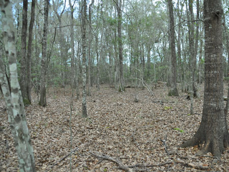 |
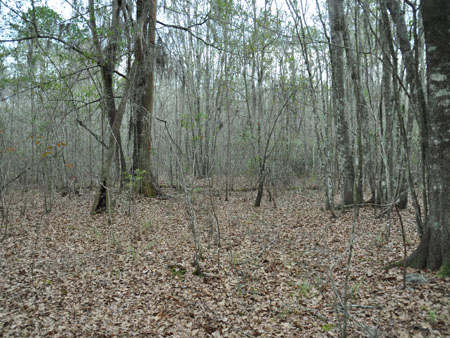
The higher parts of the bay are open and support water oaks, maple, and even pines (cf. cypress, black gum in the more often submerged regions). The right image was taken on the north east side of the bay; note the horizon clears, indicating my 2008 planted longleafs. |
|
 |
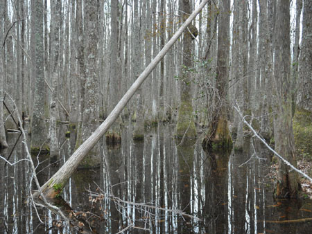 |
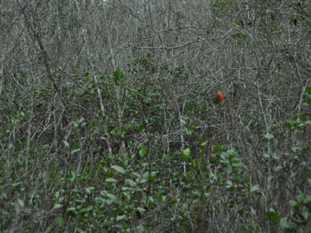
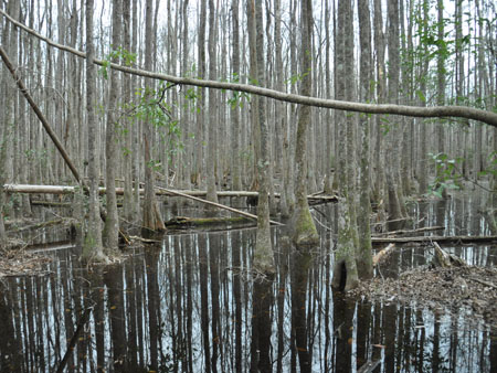
| The left image is typical of the dense vegetation around the bay. Although it is aggravating to tear through, I am happy to have so much fetterbush, an early-spring nectar source. The right image shows more the extent of the bay. I did not go into the WPA ditch, but the usual parts of the bay were only about knee-deep the day I waded through it all. | |
 |
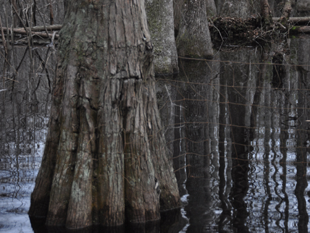 |
These two images were made in the center (north/south) of the bay. The left photograph is taken near the property line and looks south onto land that is currently part of the J.C. Rowan Operations (i.e., land that was owned by my (late) Aunt Lena Rowan nee Outlaw, and which she inheritied from her mother and father (he being my grandfather, L.G. Outlaw)). The right image is also at the property line and looks south east. Uncle Joe (i.e. Joseph N. Outlaw) owned a rectangular wedge into the bay, and the fence on the right runs more-or-less north/south. Barely visible on the left is the fence that runs more-or-less east/west. I must have been about 10 when Daddy and I met Uncle Joe--who built the fence--in the bay and agreed on the line. Uncle Joe's land was sold after his death and is now part of the W.V. Guthrie Trust (the late William Guthrie was related to g grandfather Samuel W. Watson's first spouse). |
|
Last edit 2012-01-24. |
|
Return to Documentation for this page. |
|